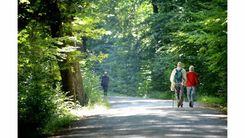
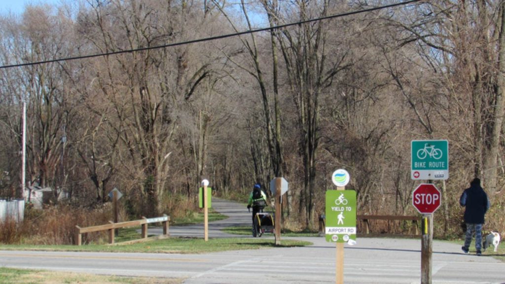
Indiana’s growing network of bike and hike trails is perfect for anyone looking for a healthy and active pastime. If you’re looking for a unique way to see the city, the suburbs, and the countryside, you’ve hit the jackpot. In both urban and rural areas, there is a path for everyone, whether they choose to hike on a whim or plan out their route in advance.
So, today I will be sharing some of the most exciting bike trails in Indiana.
1. The B-Line
The 3.1-mile B-Line Trail runs right through the center of Bloomington, making it an integral part of the community’s history and culture as the best bike trail in Indiana. Because of its convenient location near schools, parks, and local businesses, the trail serves as a crucial transportation and leisure corridor for students and citizens.
The nationally acclaimed local artisan distillery, Cardinal Spirits, may be found just west of the route (you can take a tour of the facility to see where the magic happens, or sip cocktails on the patio overlooking the B-Line). Also, the B-Line Trail’s southern terminus links up with a wider, 6-mile trail system that includes the Bloomington Rail Trail, Clear Creek Trail, and Limestone Greenway.
2. The Monon Pathway
The Monon Trail, a storied path spanning 27.1 miles, is as much a symbol of the Indianapolis area as it is of Indiana trails. Over 1.3 million people take advantage of the Monon each year, and it was inducted into the Rail-Trail Hall of Fame in 2009.
Passing through prominent attractions like the Indiana State Fairgrounds, the Palladium, and the Bohemian enclave of Broad Ripple is only part of the fun for tourists using this route. One of the reasons the Monon is considered the best route in Indiana is its accessibility to several historical sites, museums, and other popular tourist destinations. Local stores and farm-to-table eateries, as well as well-known landmarks like the Indianapolis Art Center, may be found just off the beaten path.
3. Cardinal Greenway
The Cardinal Greenway, named for the passenger train that used to travel along its path, is the longest bike trail in Indiana at 62 miles long. It spans five counties. In Sweetser, near its northern terminus, the Cardinal Greenway links up with the Sweetser Switch Trail.
Traveling south from downtown Marion brings you to Gaston, and from there you may get on the White River Greenway in Muncie, or keep going south to Richmond.
The path connects two major sections of the Great American Rail-Trail, a 3,700-mile long trail that was added to the Rail-Trail Hall of Fame in 2018. The Kitselman Pure Energy Park, an ongoing $60 million endeavor, will have a new trailhead that connects the Cardinal Greenway with the White River Greenway.
Check out the best ziplines in Indiana.
4. Pumpkinvine Trail
The winding, 17.6-mile Pumpkinvine Trail in Indiana offers views of the surrounding countryside and a glimpse into the rich cultural heritage of the region’s sizable population. Attractions along the path include a 160-foot wooden bridge across the Little Elkhart River, a reproduction of the World’s Fair display at the Krider Garden (1933–1934), and 30 different varieties of wildflowers.
The Pumpkinvine Trail begins at the southernmost point of Goshen and links to the Wilden Avenue Trail for 3.2 miles before linking to the MapleHeart Trail, which finishes just south of Elkhart. Middlebury’s Das Dutchman Essenhaus, an Amish-style inn with a restaurant and stores, is accessible via the Ridge Run Trail and the Wayne Avenue Trail.
5. Prairie Duneland Trail
The Indiana Dunes National Lakeshore and Lake Michigan are just a few miles apart, and the Prairie Duneland Trail, which spans 10.3 miles, connects these two popular destinations by passing through prairies and dunes as well as ponds, picturesque woods, farm fields, and access to state and local parks and green space.
All ages and abilities are welcome on this paved path, which winds its way from Chesterton to Hobart through an increasingly urbanized landscape. Imagination Glen, a 276-acre park with 10 miles of dirt paths, can be found just to the north of the route.
Furthermore, the path links the 5.5-mile Dunes Kankakee Trail to Indiana Dunes State Park with the 2.4-mile Iron Horse Heritage Trail that goes to the town of Portage.
6. Indianapolis Cultural Trail
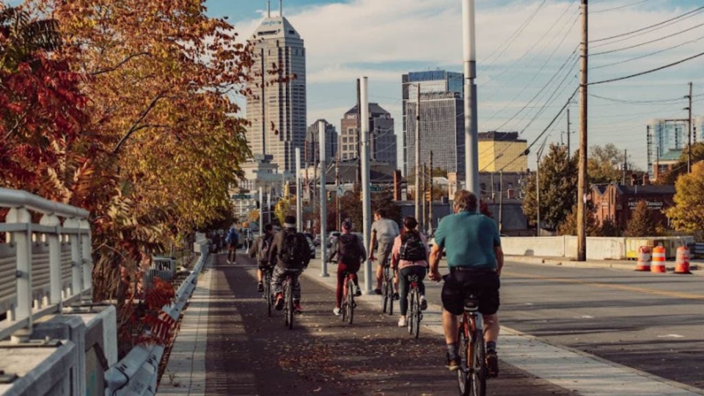
The Indianapolis Cultural Trail is a fantastic path that connects five distinct cultural areas and has artwork commissioned specifically for each area. The southern midway branch from the downtown circle goes to Lucas Oil Stadium, while the northeast and southeast spurs link to the Monon Trail at E. 10th Street and Lewis Street and the 6.9-mile Pleasant Run Trail at Shelby Street and E. Pleasant Run Parkway Drive, respectively.
The route then links up with White River State Park and the White River Wapahani Trail heading north in the southwest section. Moreover, the Indianapolis Central Library, American Legion Mall, and University Park can all be seen from the mile-long stretch of the walk that runs along the Indiana Central Canal.
Check out these skateparks in Indiana.
7. Rivergreenway
Fort Wayne is Indiana’s second-largest city, and its Rivergreenway, a linear park spanning 30.1 miles along the banks of the St. Joseph, St. Mary’s, and Maumee rivers, is only one link in a developing network of trails in the region.
There are many options for inline skating, biking, walking, and running, as well as other forms of enjoyment, fitness, and conservation, along the natural river corridor and trail system. The three major routes are named after the rivers they follow.
As a connector between residential and central commercial sectors, the Rivergreenway is also convenient for commuters. The Rivergreenway is also special because it gives tourists a chance to see both urban and rural areas of Indiana’s second-biggest city.
8. Big 4 Trail
Central Indiana is home to the Big 4 Trail, a proposed 50+ mile path that would connect the northern suburbs of Indianapolis with Lafayette, making it one of the most exciting bike trails in Indiana. As a fun fact, Abraham Lincoln used this road in 1861 on his way to his presidential inauguration.
The Big 4 Trails’ construction is highly supported by the state and is being pushed by four significant communities along the trail route: Zionsville, Whitestown, Lebanon, and Thorntown. Users of the trail have easy access to parks and greenspace, and they may also enjoy the charming restaurants and shops that can be found in Zionsville and Whitestown’s historic downtowns.
Under the I-65 flyover is a painting honoring the path and its railroad past (near the Lebanon trailhead). Managers of the path are now attempting to resolve issues that have arisen in the course of acquiring property from private landowners for the $3.9 million project.
9. Nickel Plate Trail
The roughly 40-mile Nickel Plate Trail takes visitors through the broad Indiana countryside, where they may take in a wide variety of landscapes, from forests and wetlands to farming and more. The path travels across rural Indiana, passing through the cities of Cassville, Bennett’s Switch, Miami, Bunker Hill, Peru, Denver, Deedsville, Birmingham, Macy, and Rochester – ten different places.
While the trail’s agriculture is the main attraction, the trestle bridge over the Wabash River is a must-see landmark. A number of nearby municipalities have indicated interest in extending the Nickel Plate Trail beyond its present terminus north of Kokomo. Also, the city of Tipton has just initiated a thorough plan to link to the trail and make a connection to the Cardinal Greenway Trail.
10. Erie Lackawanna Trail
Nearly 200 people use the Erie Lackawanna Trail every day which is located just east of the Indiana-Illinois line. Nearly 18 miles of path link to or are in proximity to another half-dozen trails, including the Pennsy Greenway, which extends into Illinois. The region around the path is highly industrialized due to its closeness to Chicago and Gary, yet the route itself provides a welcome escape from the city’s drab skyscrapers.
However, the Schererville stretch of the route is maintained more naturally on purpose to encourage wildlife, and the Ivan Gatlin Nature Preserve, located about a mile off the Erie Lackawanna Trail, is well worth the detour. The northern extension of the Erie Lackawanna Trail is being studied in light of the trail’s popularity and the growing need for a link north of the current terminus at Sibley Street.
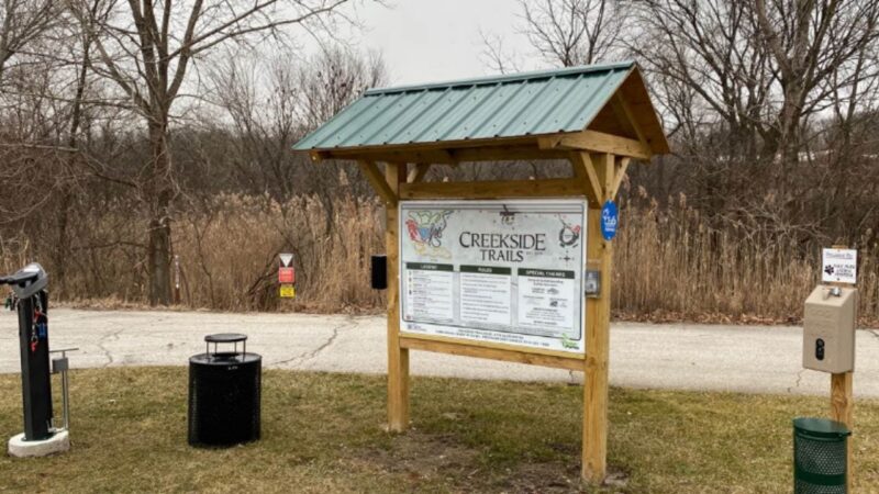
11. Creekside Trail
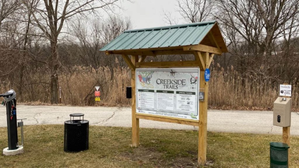
There are six miles of multi-use pathways winding through the woods along Valparaiso’s Creekside Trail. In October 1992, the City of Valparaiso bought a piece of land that would become known as Creekside Park. Little was done to the land until the spring of 2019, when a group of locals contacted the Parks Department with a plan to introduce mountain biking to the city.
Volunteers under the direction of chief trail designer Bob Spaulding began work in early March 2019, and by mid-October of that year, Phase 1 of the path was declared safe for use by walkers, cyclists, and joggers.
12. Panhandle Pathway
The fantastic countryside in the Midwest appears to go on forever as you travel the 21 miles of the Panhandle Pathway. A little less than a mile south of the Winamac trailhead, near the crossing of the Tippecanoe River, hikers will be treated to a spectacular view.
You will definitely enjoy these bike trails, especially if you like biking. Also, call ahead to ensure that the places you want to visit (attractions and restaurants) are still open when you plan to visit.